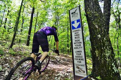
With 4,083 acres located between the cities of Oxford and Anniston, Alabama’s Forever Wild Land Trust protects Coldwater Mountain. …
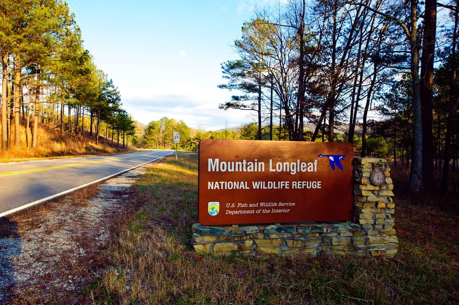
Mountain Longleaf National Wildlife Refuge
Mountain Longleaf National Wildlife Refuge is located in Calhoun County in northeastern Alabama. It is contiguous to the city of …
Continue Reading about Mountain Longleaf National Wildlife Refuge

Chief Ladiga Trail
The Chief Ladiga Trail is Alabama’s premiere rails-to-trails project. It wanders 33 miles through the countryside of Calhoun and …
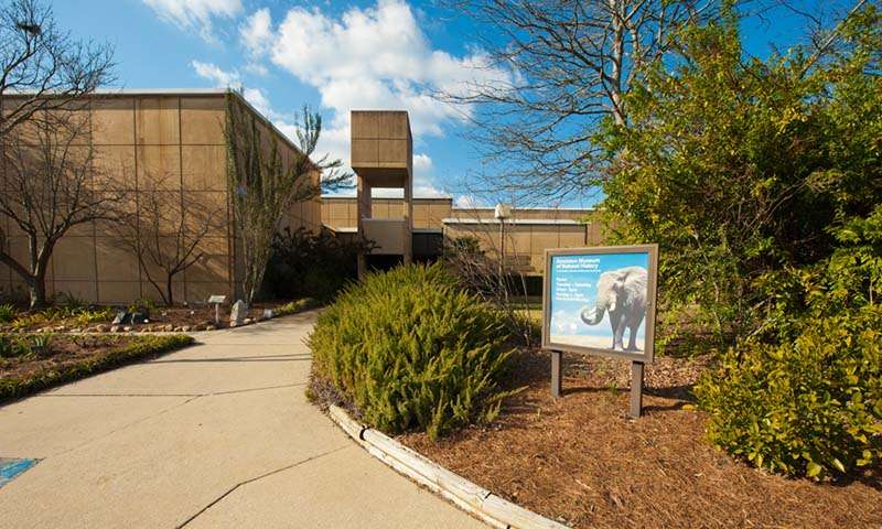
Anniston Museum of Natural History
Explore the wilds of Africa, the wonders of the North American wilderness and the mysteries of 2,300 year-old Egyptian Mummies in …