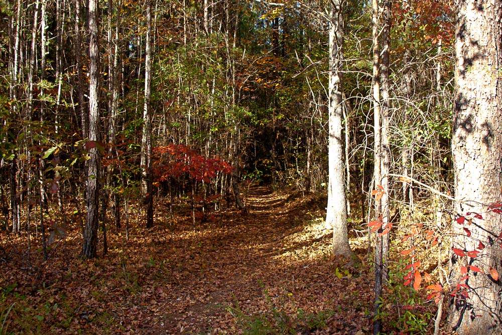
The Alabama Pinhoti Trail, a national recreation trail, is the pride of Alabama hikers. This 100+ mile long path is the backbone of a trail system second to none in the state as it meanders through rolling hillsides, up rocky crags, past mountain streams and waterfalls, and the panoramic vistas atop the mountains of the Talladega National Forest. The name “Pinhoti” is a Native American word meaning “turkey home,” and there is the chance that you will stir up some wild turkeys along the trail. In 1999 the trail was designated one of only 50 “National Millennium Trails” in the country.
The path is blazed with either white markers embossed with the trail’s “turkey foot” moniker or painted blue blazes, and are very easy to follow. This is due to the tireless efforts of several state clubs and organizations who have taken the “adopt-a-trail” approach to maintaining the trail for all of us to enjoy. (Refer to the “Additional Information” section for a list of these groups.)
The Pinhoti is currently being extended beyond the boundaries of the Talladega National Forest to the Georgia state line where it will connect to the Georgia Pinhoti Trail. The Alabama Trails Association is the group spearheading this effort. While the map we have included here does not show the extension, you can find out about this route, follow the progress of trail development, and obtain trail reports at www.alabamatrailsasso.org.
The trail is intersected by a multitude of other footpaths in the forest, so if you are not inclined to hike 100 miles and would rather do a weekend overnighter or perhaps a quick day hike loop, it can easily be arranged. But PLEASE, safety first! This is a wilderness area! Contact the groups and agencies listed below for suggested routes and trail conditions, and plan your trip well in advance.
The Alabama Pinhoti Trail is one of many long paths being connected together to create the Eastern Continental Trail that stretches from Florida to Canada. (Please see the “Eastern Continental Trail” section for more information on this hike.)
Total Miles: 100+ miles
Secondary Trail Use: Mountain Biking
Hours of Operation: Always open
Trail Connections: Appalachian Trail


